

Route Overview
| Distance | 26.04 miles |
|---|---|
| Surface | The surface is unsealed pretty much throughout, and it can get a little bit muddy in places, after the rain. |
| Difficulty | Easy |
| Child-Friendliness | ✅ Very child-friendly |
| Suitable Bikes | Anything (including trikes) |
| Barriers | There are no barriers, but there are a few gates, which are normally left open. |
| Café / Food | Café choices are limited. There are several in Norwich, then again at the heritage railway café, about halfway. Finally, you'll have a few options in Aylsham. |
| Train Access | Norwich is the train station nearest the route. The route shown on the map below starts at Norwich train station. |
| Parking | Westwick Street car park in Norwich is your best bet. |
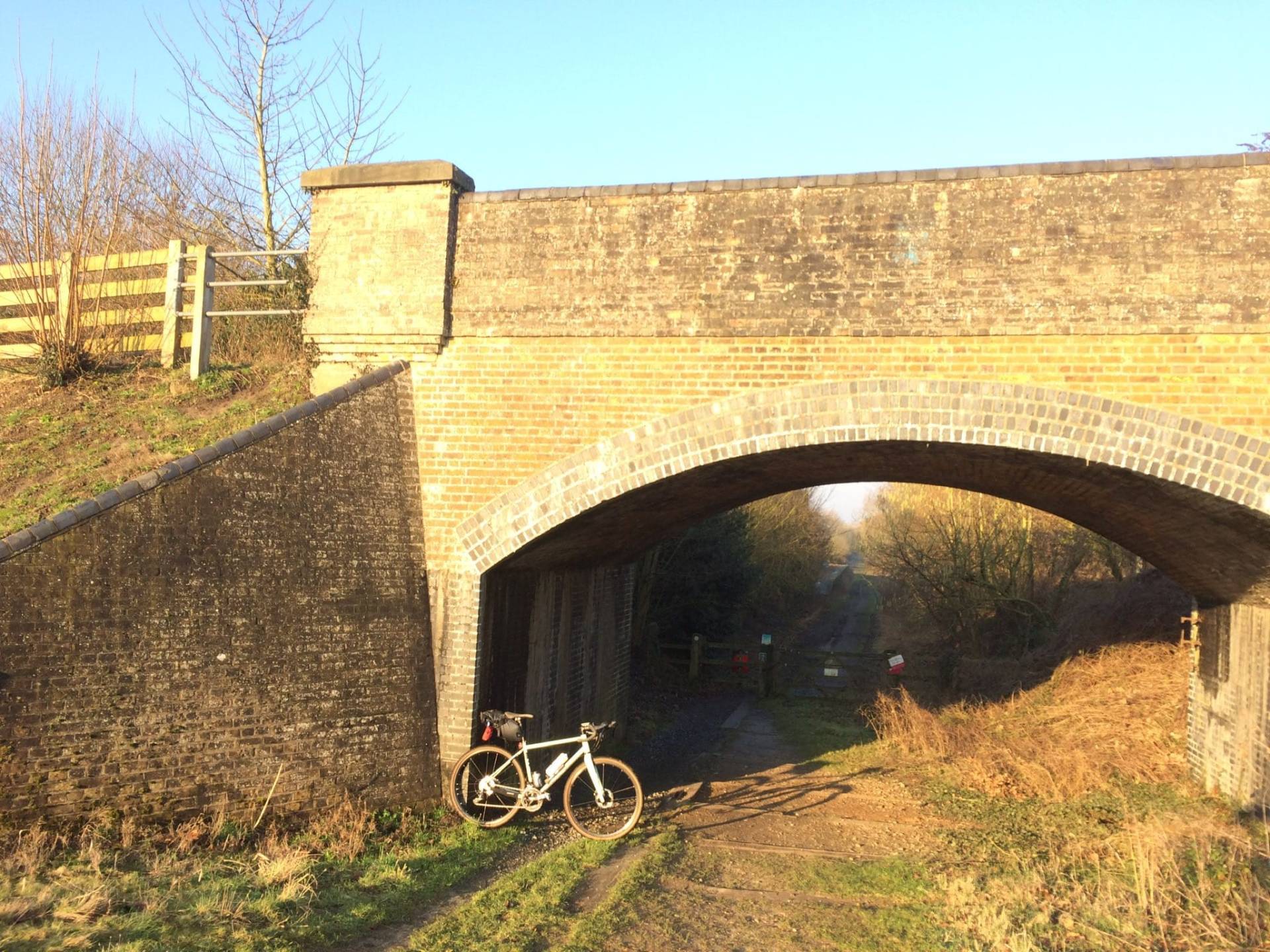
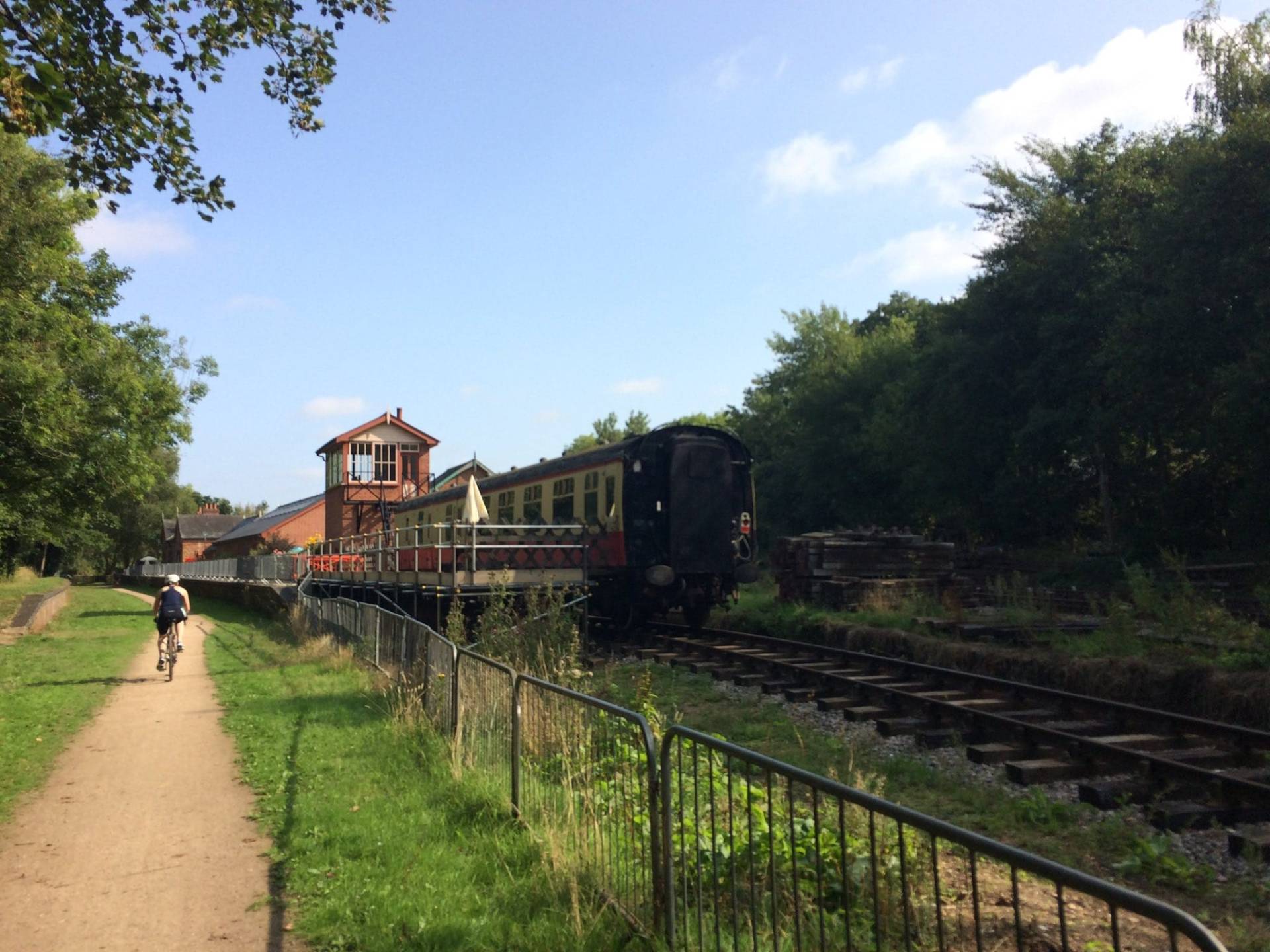
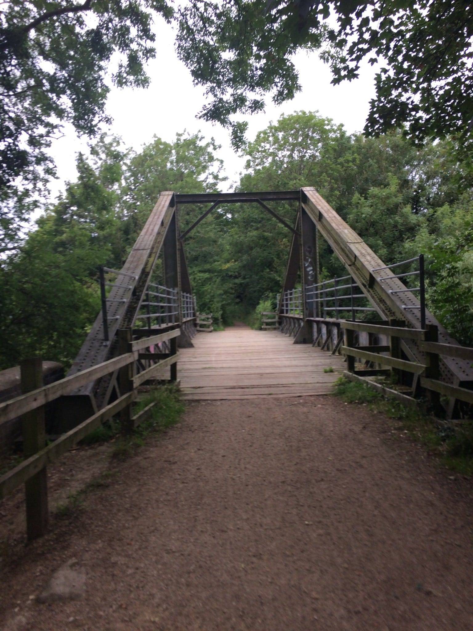
Marriott’s Way is a shared path of 26 miles, linking Norwich with Aylsham via a circuitous route. As you’d expect from a trail on a disused railway in Norfolk, it’s very flat. There are sculptures or benches at every mile marker, and a bike shop inside the old signal box at the Whitwell and Reepham Station.
Most of the description is from Chaley, who also supplied most the photos. Some information and a photo is from CalvertNLR. All errors are mine.
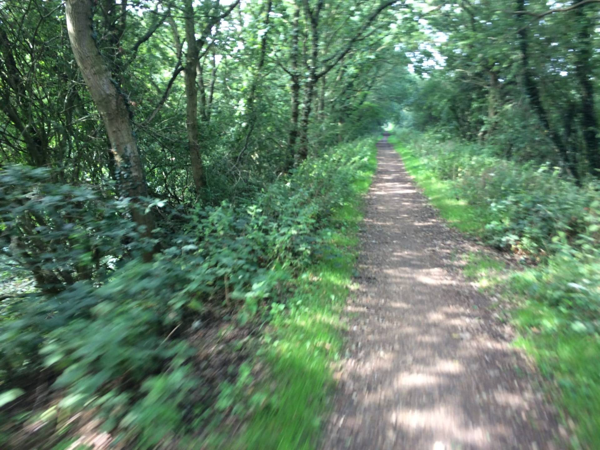
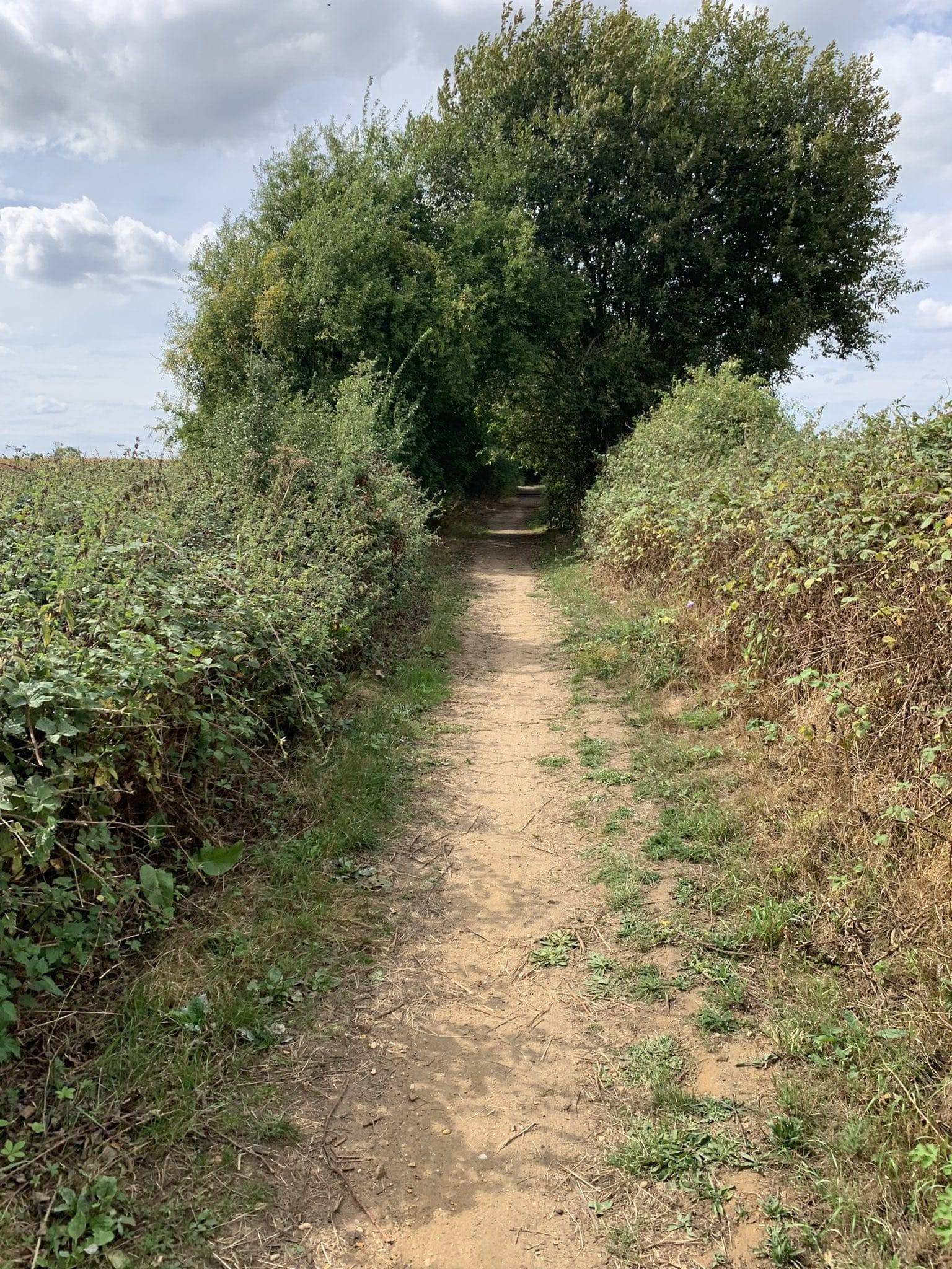
Surface on Marriott’s Way

The surface is unsealed along almost all of the trail, and can get quite muddy. In places it is almost more of a footpath than a proper cycle trail, but cycling is explicitly permitted along the entire length.
Refreshments

You don’t have many refreshment options along this route. There are cafés in Norwich
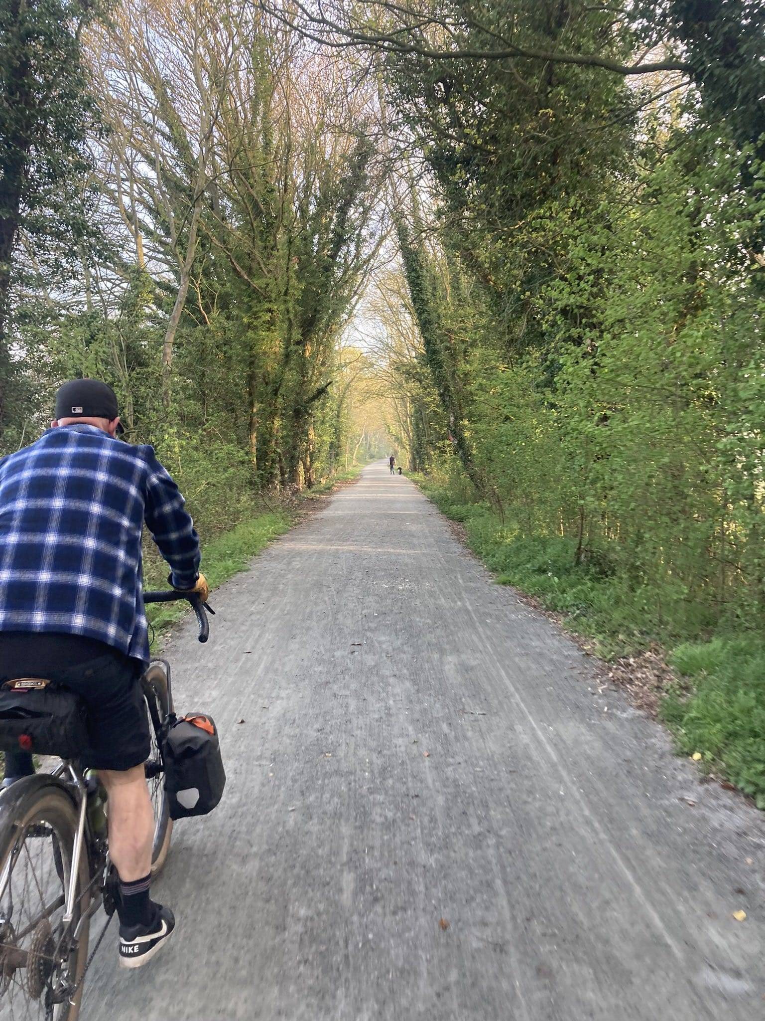
Bikes

You will want a bike with chunkier tyres and mudguards. Trikes and most cargo bikes may struggle with some parts, due to the surface.
Toilets

There are toilets at the start, at Whitwell & Reepham Station and at Aylsham, but nothing in between.
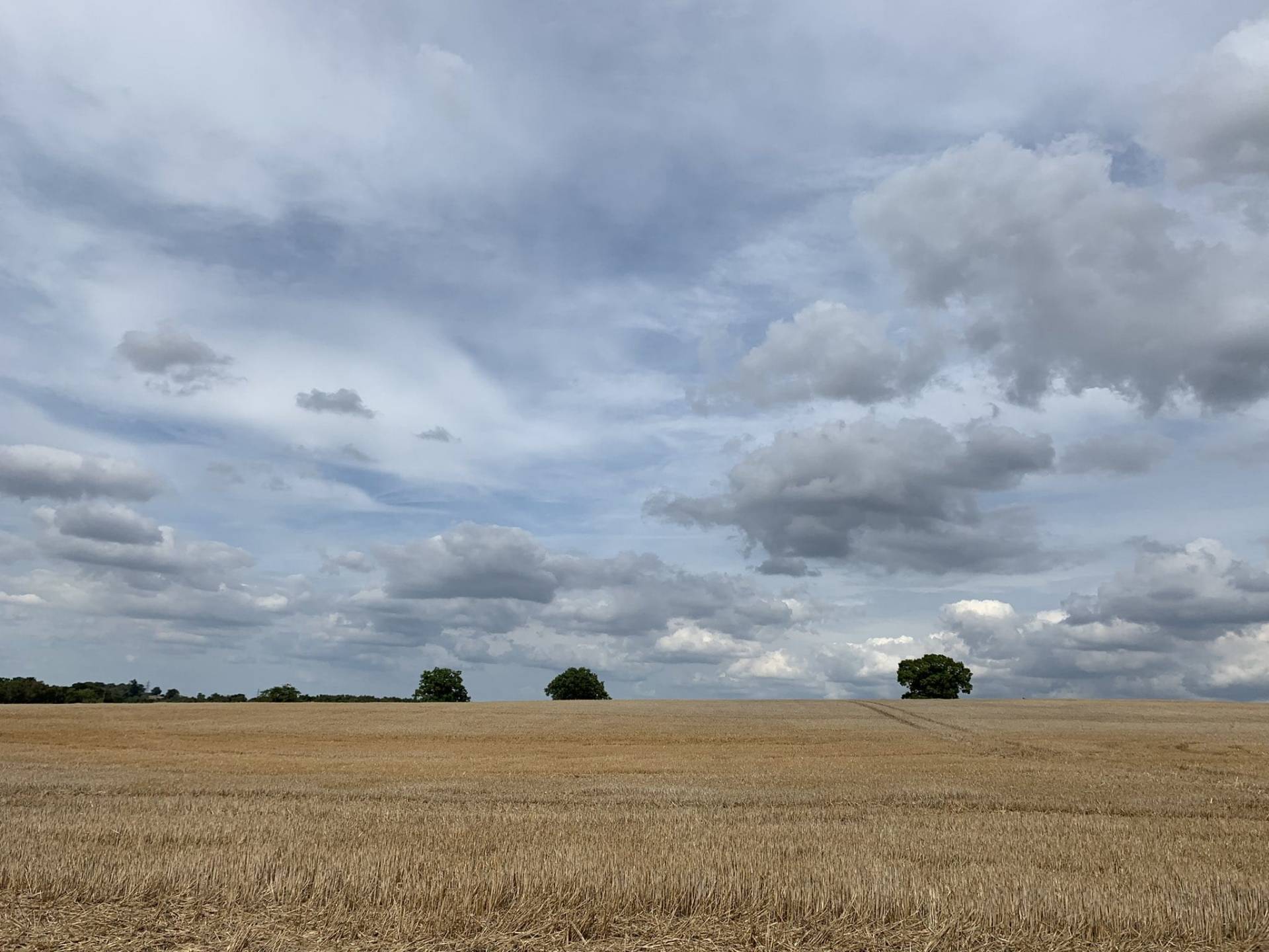
Hilliness

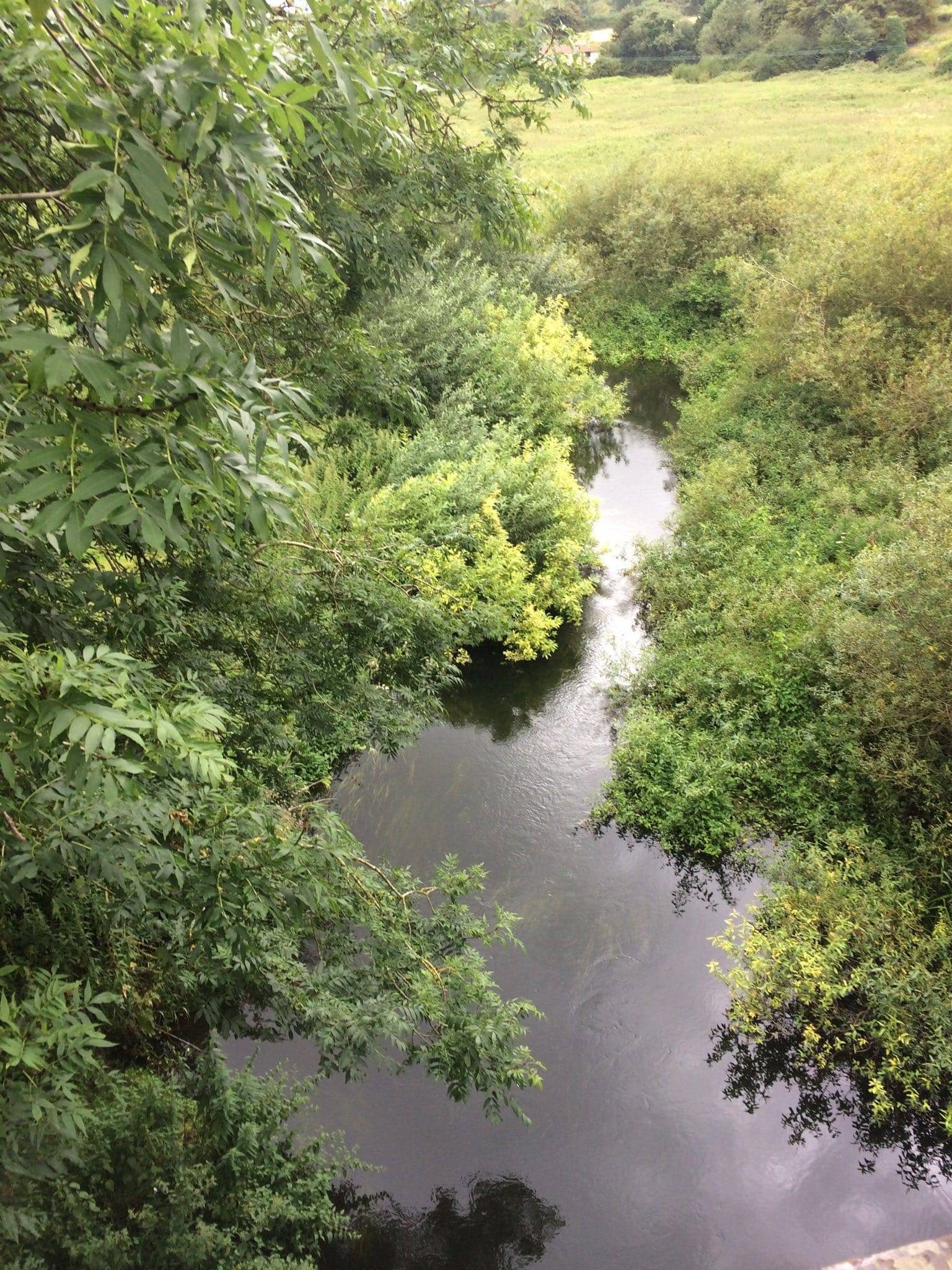
This route is mainly very flat.
Points of Interest
Look out for the heritage railway at Witwell & Reepham Station.
Routes in Norfolk
Barriers

There are no barriers at all along this route. There are some gates, but they are normally open.
Cycle Hire
You can hire bikes from Beryl in Norwich, or from Bikebox, also in Nowich.
Child friendliness

Marriott’s Way is very child-friendly.
Social safety

Parts of the route are very rural, and isolated.
Safety from traffic

Marriott’s Way itself is completely traffic-free, barring some road crossings. However, the route shown on the map starts at the train station, and includes some on-road cycling.
Forecast for Marriott’s Way

What Marriott’s Way looks like
Getting to Marriott’s Way
The route as shown on the map below starts at Norwich station, so you can easily get to the start car-free, by taking your bike on the train. As ever, read my Bikes On Trains guide for useful and helpful tips for taking your bike on the train.
Parking near Marriott’s Way
In Norwich, there are several parking options, including at the train station. Should you drive there, you probably want to skip the on-road cycling, so your best bet would be the Westwick Street car park.
Interactive map for Marriott’s Way
You can download the GPX file from the map below, simply by clicking the GPX button. Hovering over the elevation profile will show the elevation for that point along the route, in both metres and feet. It will also show the gradient.
If viewing the map on your phone, you will also see a Find Me, Navigate and Record Route button, below the map. WillCycle Supporters can have voice turn-by-turn navigation of the route.
And finally…
If this route guide was of use to you, it will be of use to others, too. Don’t keep it secret! Share it with everyone, on social media, in Facebook Groups, on chat forums, and elsewhere.