

Middlewood Way Cycle Route Overall Rating: ⭐⭐⭐
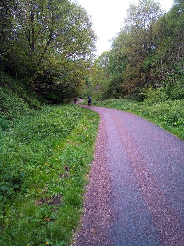
The Middlewood Way is a disused railway line, running for 10.4 miles between Macclesfield and Marple. As is the case whenever possible, the route starts right by Macclesfield train station, and ends at Marple station. Do note that to catch a train from one station to the other you will need to travel via Manchester. Also, do yourself a favour and first read my Bikes On Trains guide.
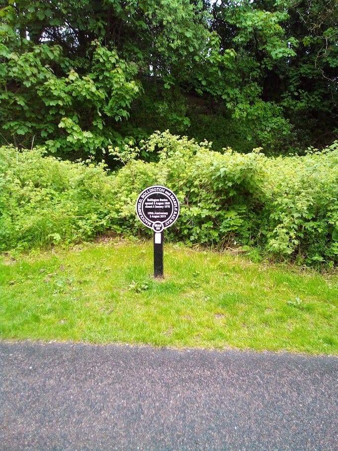
The Middlewood Way follows the course of the old Macclesfield, Bollington and Marple Railway. As it ends in Marple, you can easily turn this into a loop from Manchester, taking the train to Macclesfield, cycling the Middlewood Way, then continuing on with the Peak Forest & Ashton Canals route.
As you’d expect from a disused railway, the Middlewood Way is rather flat, and it’s suitable for nervous or young cyclists. Just bear in mind that it is also a bridleway, so be prepared to encounter horses. Especially younger riders may need to be told how to pass horses safely.
Surface
The path surface is mostly tar, but towards Marple turns to self-compacting gravel. Nevertheless, it’s a decent surface to ride in nearly all weather (but may have some muddy patches when it rains).
Bikes
Any kind of bike should cope easily, but especially after rain, you’ll want to ensure your bike has mudguards. You’ll find it more comfortable on chunkier tyres.
Toilets
Available at Macclesfield station, at The Boar’s Head, Higher Poynton and at Marple station.
Ratings
Safety: ⭐⭐⭐⭐
Hilliness: ⭐⭐⭐⭐⭐ (Flat)
Refreshment stops: ⭐⭐
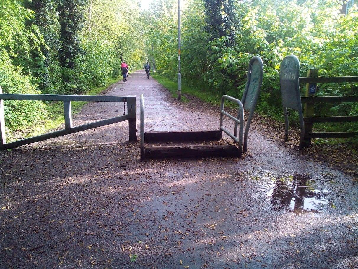
Barriers: ⭐
Surface: ⭐⭐⭐
Overall: ⭐⭐⭐
Points of Interest
The Macclesfield Canal is in several places quite close to the Middlewood Way.
Routes in Cheshire
- The Shropshire Union Canal cycle route
- Chester Millennium Greenway
- The Wirral Way traffic-free cycle route
- Trans Pennine Trail – Altrincham to Warrington
- Peak Forest & Ashton Canals
- Middlewood Way Traffic-Free Cycle Route
Barriers
There are some A-frame barriers along the Middlewood Way. Trikes and handcycles may struggle, as will most cargo bikes.
Forecast for the Middlewood Way

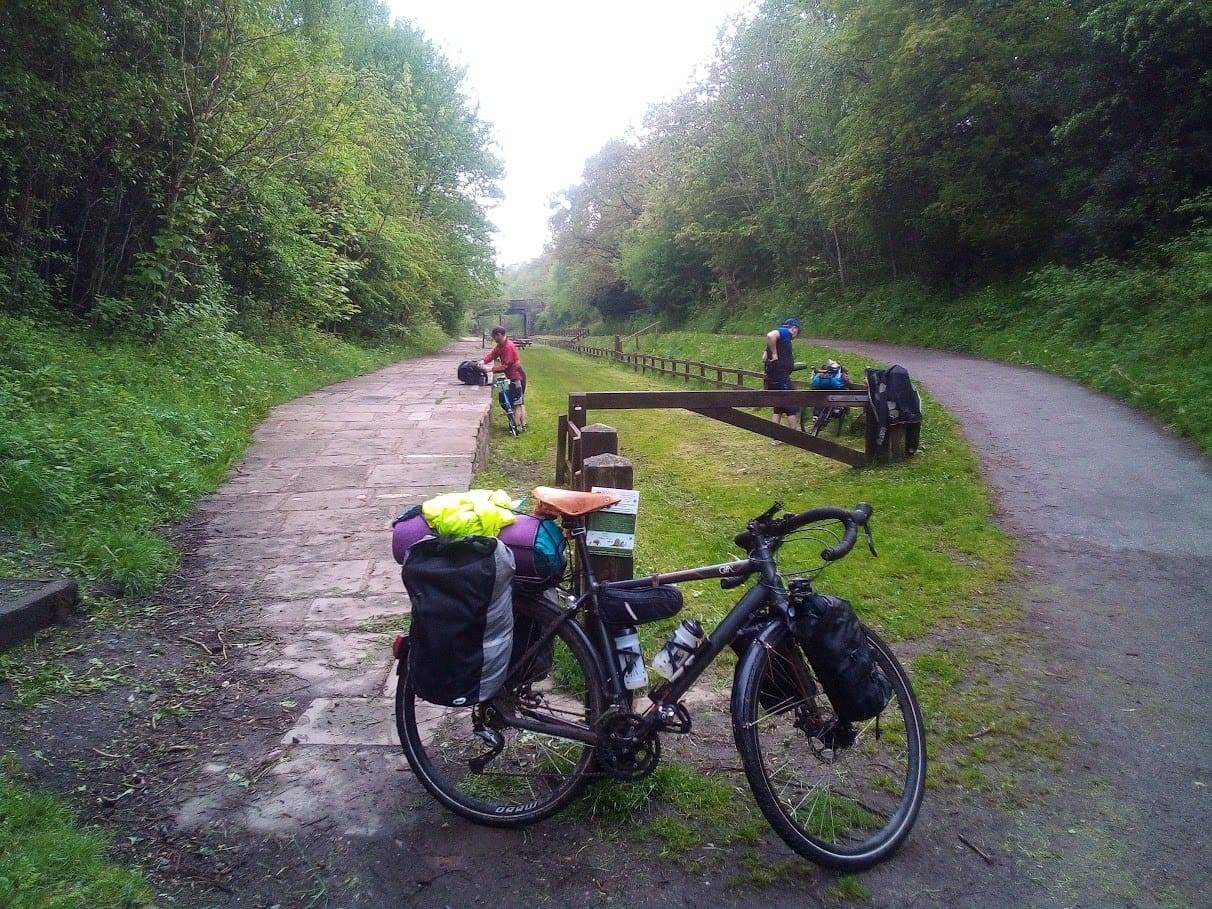
What the Middlewood Way looks like
DayCycle
You can download the GPX file from the map below, simply by clicking the GPX button. Hovering over the elevation profile will show the elevation for that point along the route, in both metres and feet. It will also show the gradient.
And finally…
If this route guide was of use to you, it will be of use to others, too. Don’t keep it secret! Share it with everyone, on social media, in Facebook Groups, on chat forums, and elsewhere.