

Phoenix Trail Cycle Route Overall Rating: ⭐⭐⭐
The Phoenix Trail is an 8 mile, almost entirely traffic-free cycling route in Oxfordshire, linking Princess Risborough with Thame. With the steepest gradient along the route being less than 2%, we can safely call it very flat (as is often the case with trails built on disused railway lines.
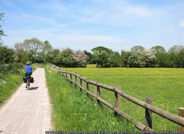
Surface on the Phoenix Trail
The surface is either smooth tar, or self-compacting gravel, and is rideable all year round. Mudguards on your bike will definitely help though, especially after rain.
Bikes
Only standard bicycles are suitable for this route. Touring bikes with panniers will struggle.
Toilets
There are toilets at the Princess Risborough train station, and also in Thame.
Points of Interest
The historic city of Oxford is nearby.
Routes in Oxfordshire
Barriers
Unfortunately, there are several barriers along this route. The worst barriers at at the lane crossings for Chinnor Road and New Close Farm Road.
Ratings
Safety: ⭐⭐⭐⭐
Hilliness: ⭐⭐⭐⭐
Refreshment stops: ⭐
Barriers: ⭐
Surface: ⭐⭐⭐
Overall: ⭐⭐⭐
Forecast for the Phoenix Trail

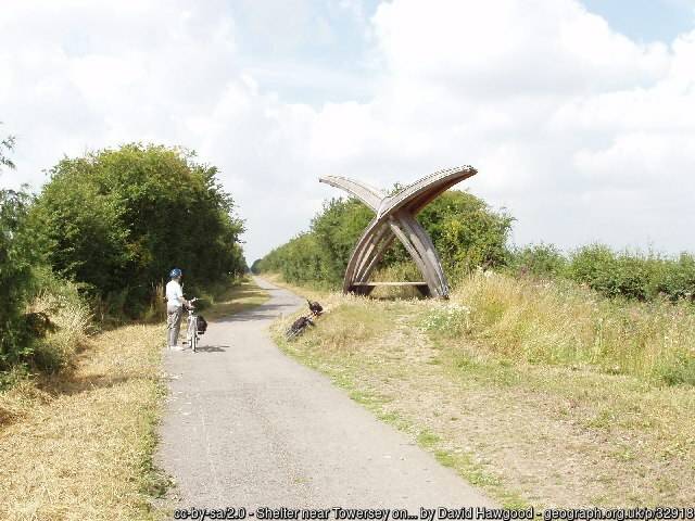
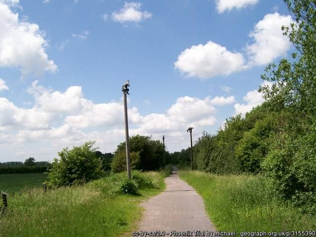
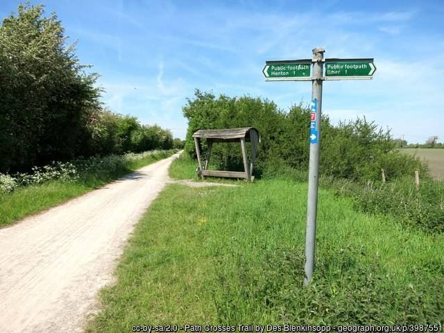
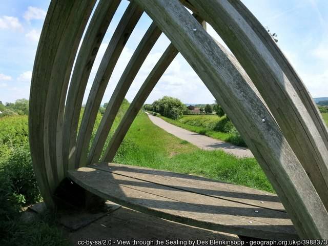
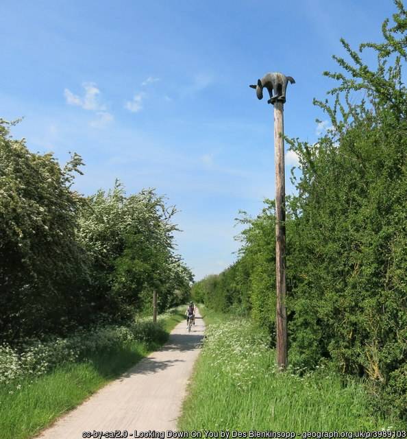
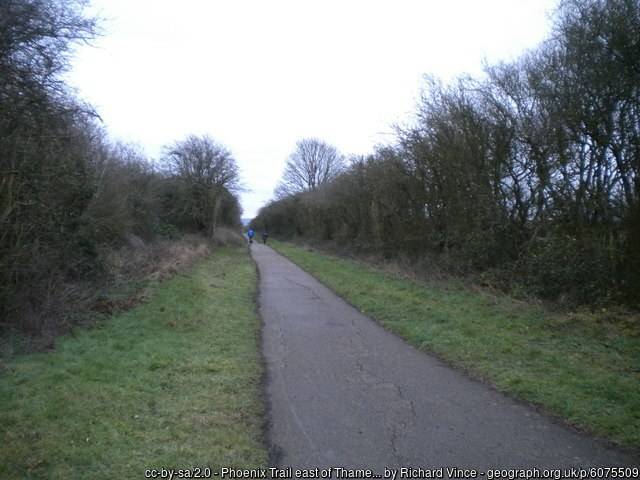
What it looks like
Getting there
The route as shown in the map below starts at the train station in Princess Risborough. That makes it easy to get to the start in a car-free manner, simply by taking your bike on the train. However, before doing so, do read my Bikes On Trains guide first.
It is also possible to cycle from Oxford, along rural lanes, but that’s obviously not traffic-free.
More Routes
To find more routes, click this link.
Interactive map for the Phoenix Trail
You can download the GPX file from the map below, simply by clicking the GPX button. Hovering over the elevation profile will show the elevation for that point along the route, in both metres and feet. It will also show the gradient.
And finally…
If this route guide was of use to you, it will be of use to others, too. Don’t keep it secret! Share it with everyone, on social media, in Facebook Groups, on chat forums, and elsewhere.
Getting from Princes Risborough to the start of the trail proper looks like it involves cycling on pretty hairy A and B roads with no cycling infrastructure at all. It would help if you marked on-road sections in a different colour on your maps.
That initial stage does have a pavement, and if I was cycling with kids, I’d be on the pavement. For the record, ministerial guidance to police remains the same: ignore responsible pavement cyclists. However, your suggestion of a different route colour for the on-road segments is a great suggestion, and (on this route at least) I’ve implemented it.