

St Austell to Mevagissey Cycle Route Overall Rating: ⭐⭐⭐
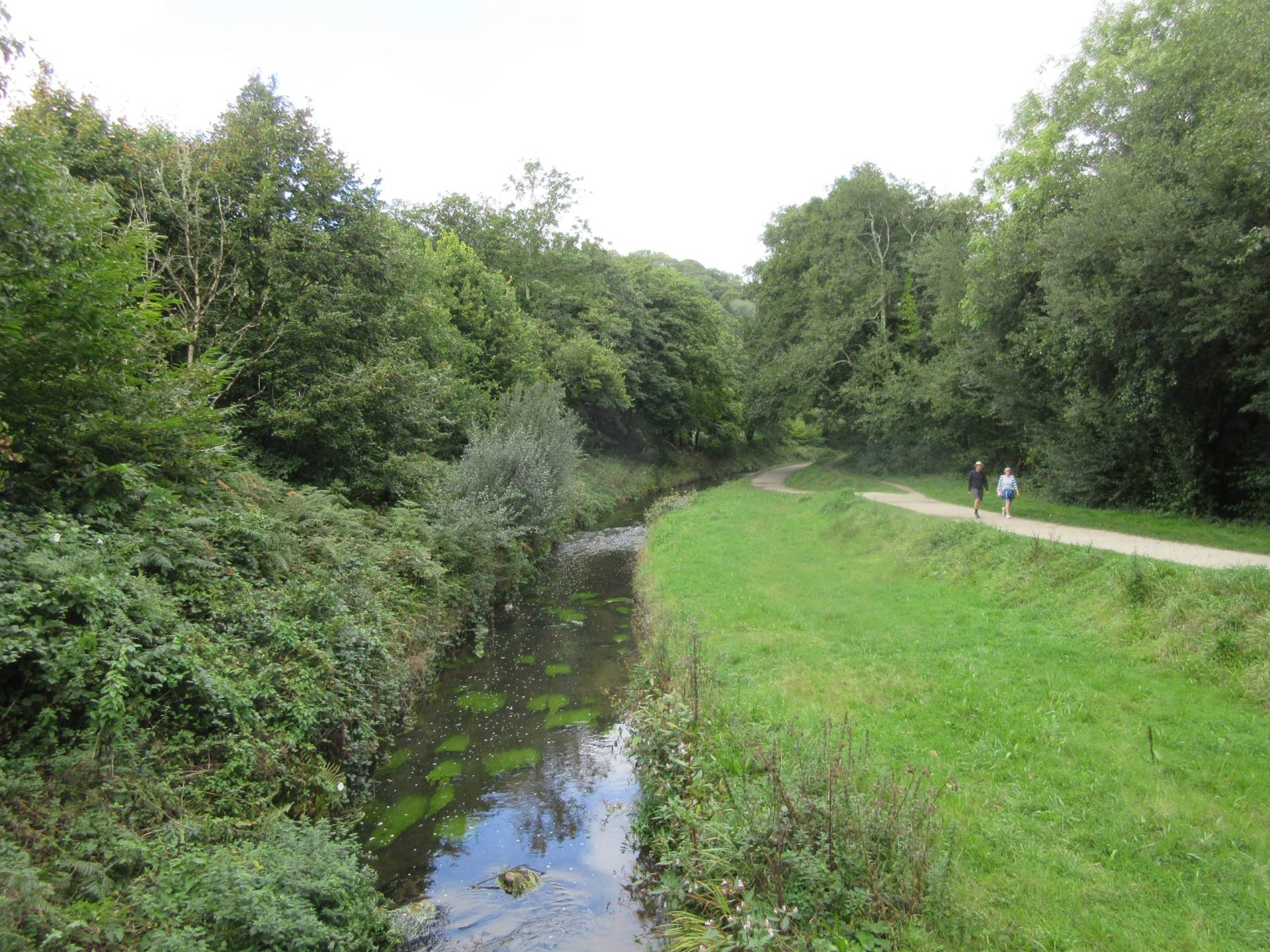
Incorporating part of the Pentewan Valley Trail, and passing right by the Lost Gardens of Heligan, this mostly traffic-free route takes you from St Austell train station to Mevagissey, over a distance of six miles.
When starting at the station, there are some on-road sections in St Austell, though these are on roads that are normally very quiet. It does involve crossing a very busy road, though there are traffic lights.
There’s a short segment along a fairly narrow shared pavement, next to an A-road, and the descent into Mevagissey is quite steep, so ensure your brakes are good.
Surface
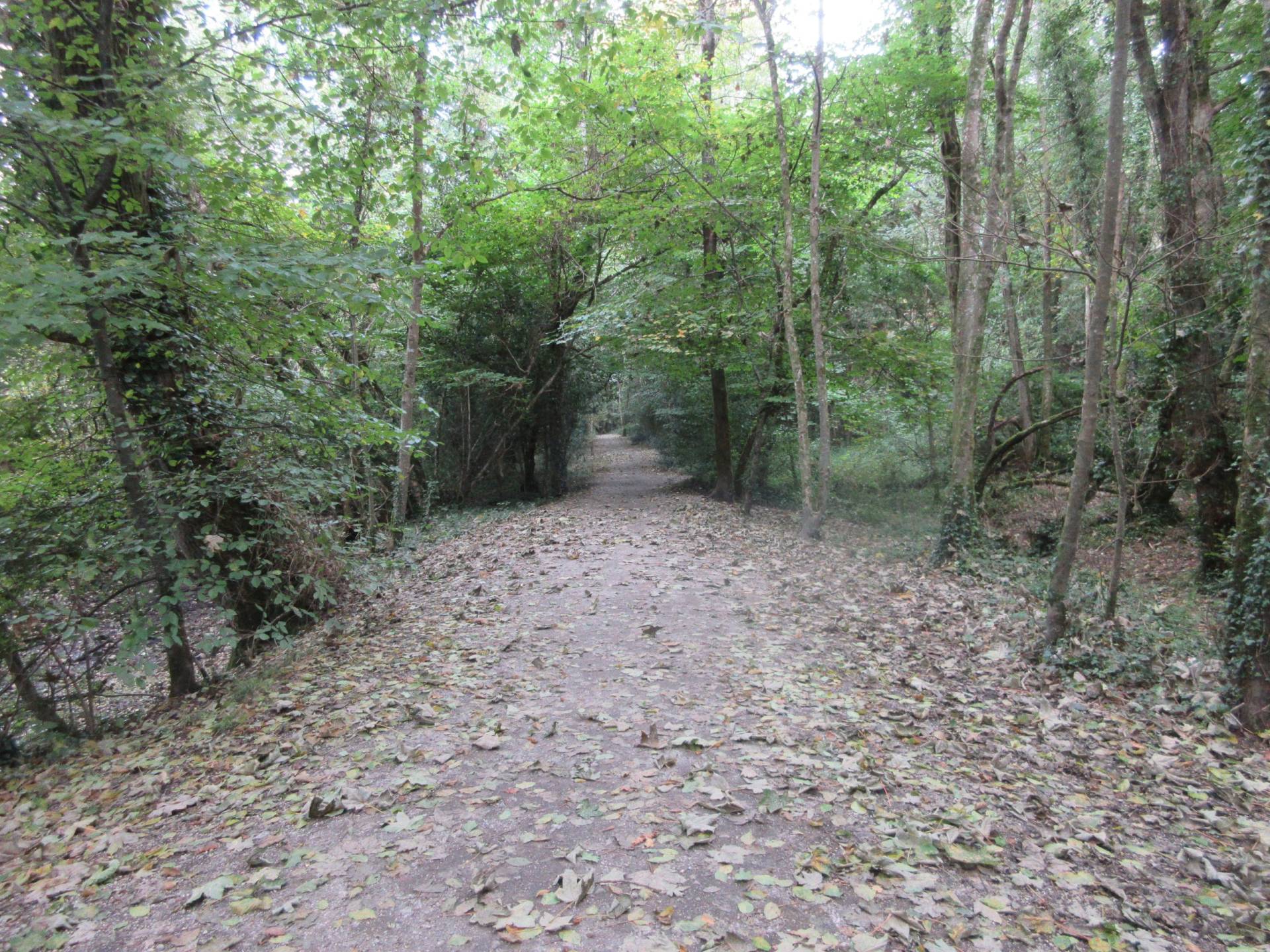
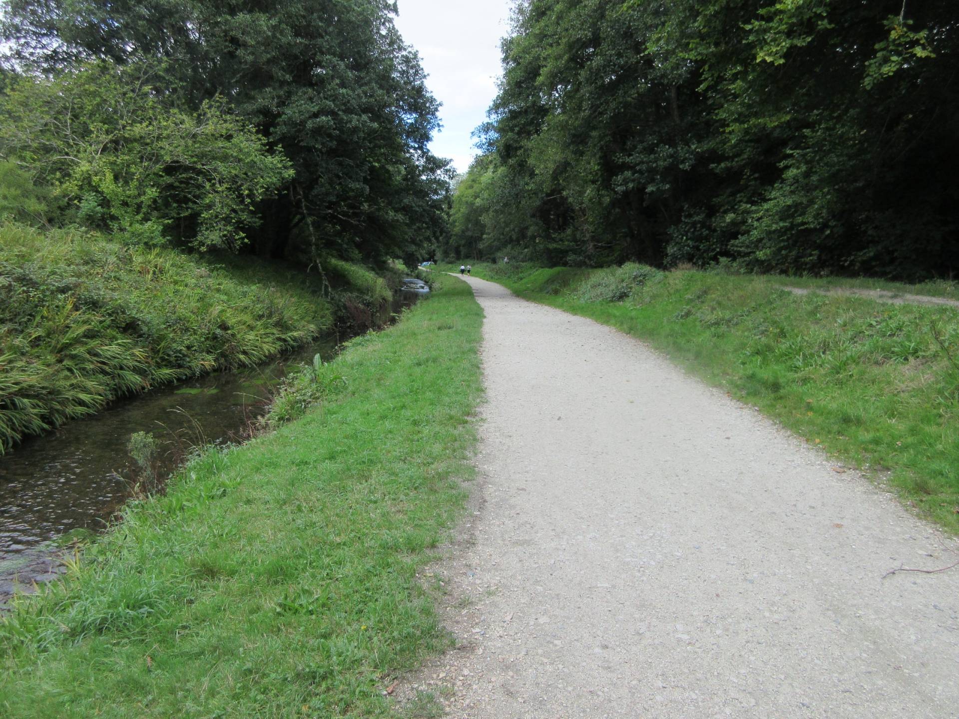
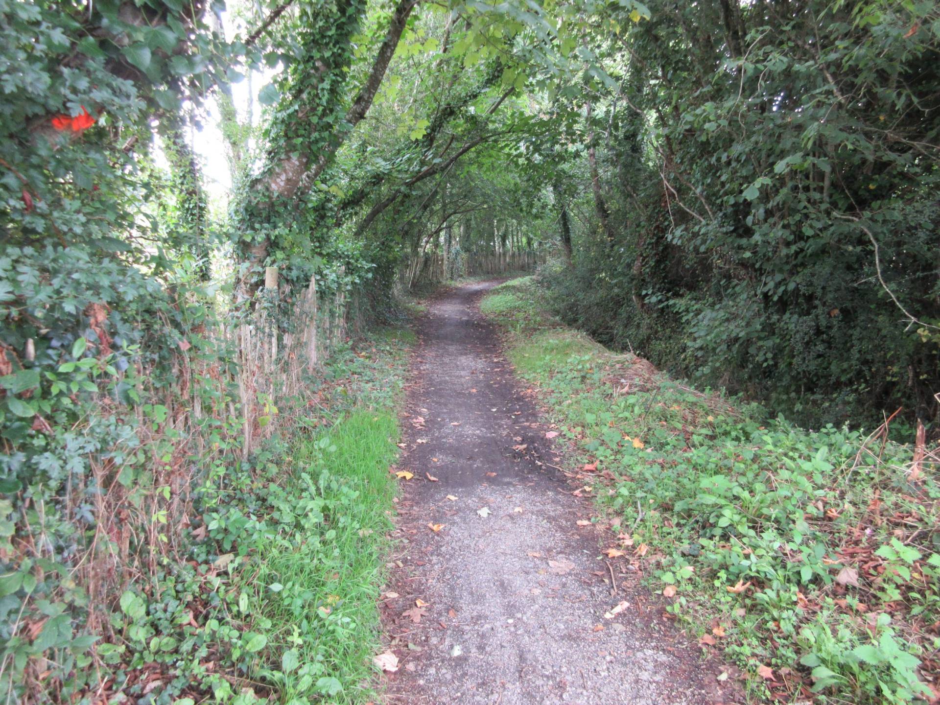
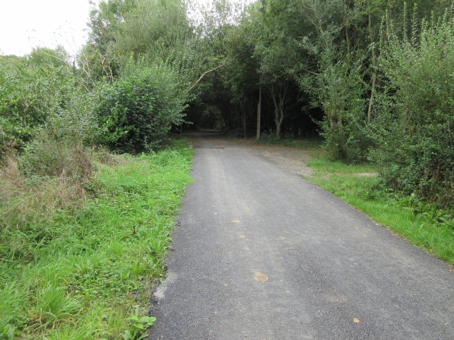
The surface varies from smooth tar, to somewhat bumpy tar, to compacted gravel. The surface is good enough to be rideable all year round.
Bikes
Any kind of bicycle can be used on this route. However, trikes and some cargo bikes may struggle along parts of the Pentewan Valley Trail, and also near Heligan.
Toilets
There are toilets at St Austell train station, at The Lost Gardens Of Heligan, and in various places in Mevagissey.
Points of Interest
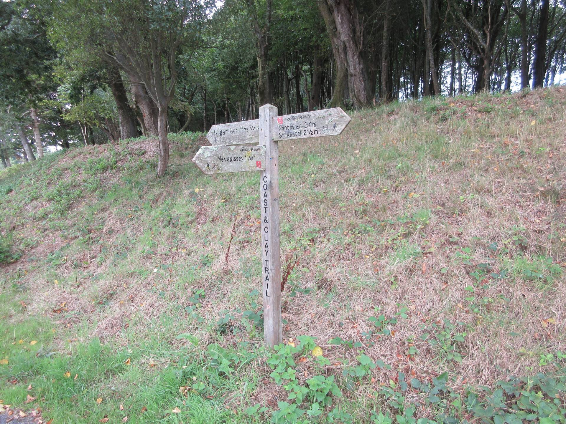
The Lost Gardens of Heligan is along the route, and Charlestown, home to several tall ships, is nearby (but not on the route at all).
Routes in Cornwall
- St Austell to Mevagissey traffic-free cycle route
- The Camel Trail traffic-free cycle route
- Par Beach Trail traffic-free cycle route
- DayCycle – Camel Trail, Wenford branch
Barriers
There are no barriers along this route.
Ratings
Safety: ⭐⭐⭐
Hilliness: ⭐⭐
Refreshment stops: ⭐⭐
Barriers: ⭐⭐⭐⭐
Surface: ⭐⭐⭐⭐
Overall: ⭐⭐⭐
Forecast for St Austell

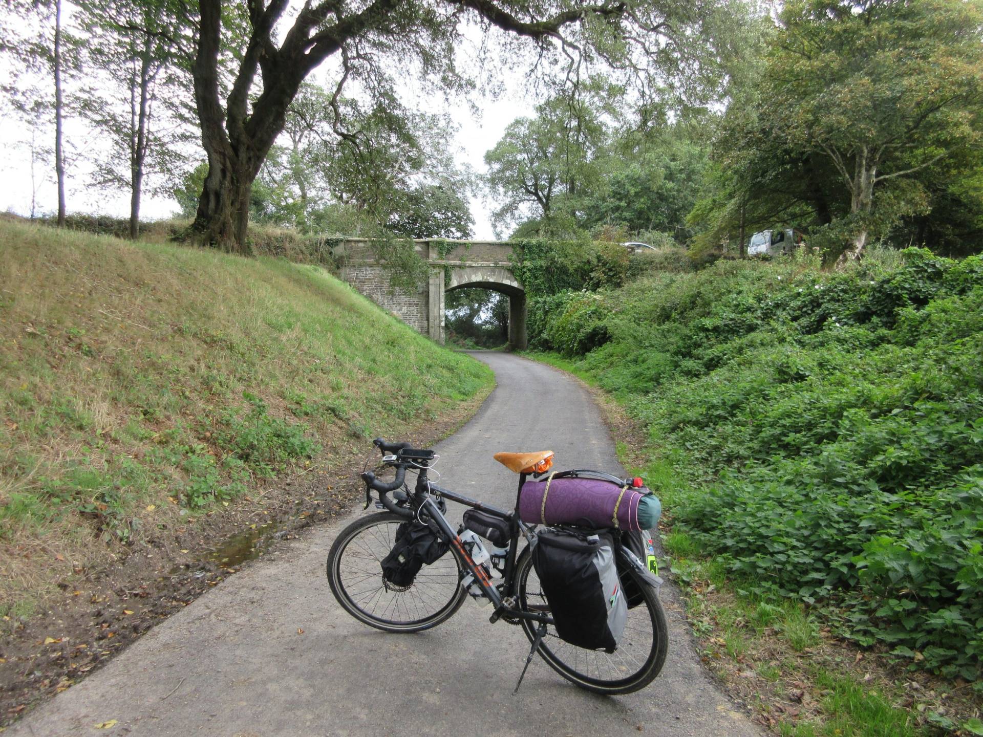
What the trail looks like
Getting there
Getting to the start is easy to do by train, as St Austell is on the main train line linking Paddington with Penzance. This route can make for a great car-free day out. Before taking your bike on the train, do read my Bikes On Trains Guide for tips to make doing so easier.
More Routes
To find more routes, click this link.
Interactive map for this route
You can download the GPX file from the map below, simply by clicking the GPX button. Hovering over the elevation profile will show the elevation for that point along the route, in both metres and feet. It will also show the gradient.
And finally…
If this route guide was of use to you, it will be of use to others, too. Don’t keep it secret! Share it with everyone, on social media, in Facebook Groups, on chat forums, and elsewhere.